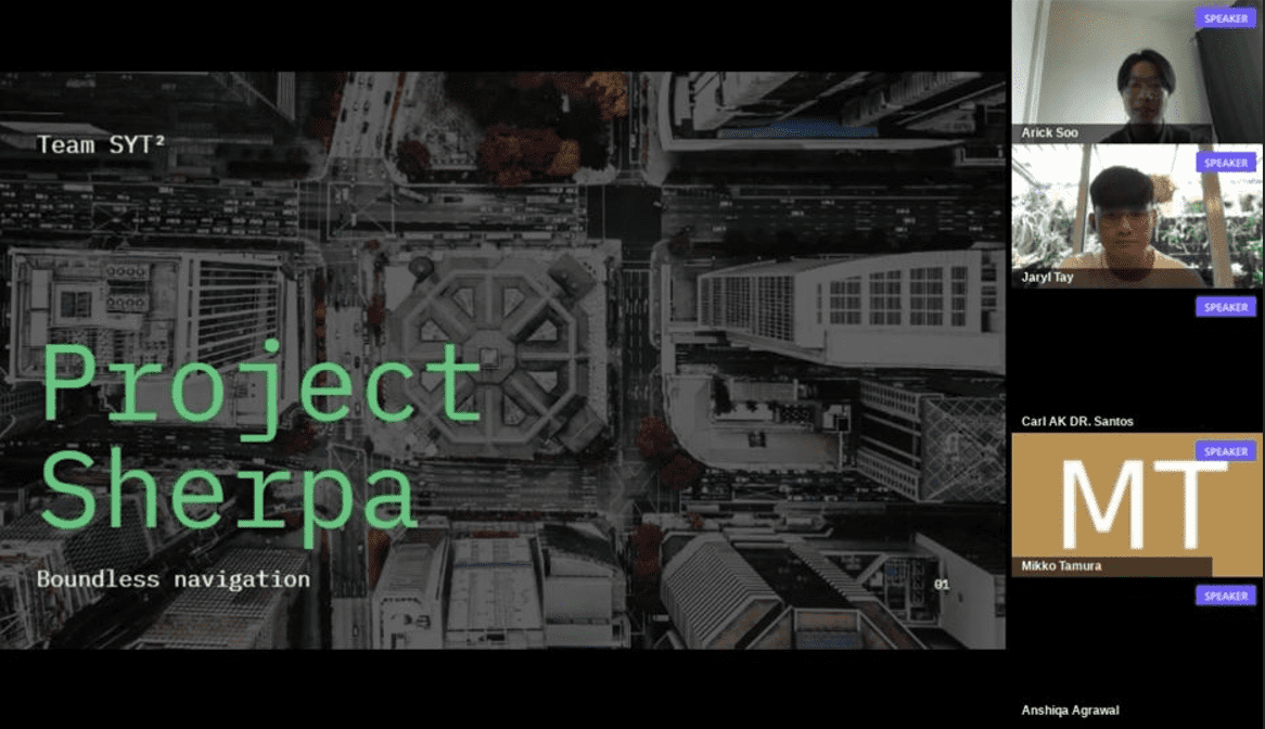
I'm proud of my team to have emerged as one of the Winners representing Singapore as well as attaining the Excellence Award in the ASEAN Geospatial Challenge 2021.
Link to ASEAN Geospatial Challenge 2021 video
It has been a great experience to have worked alongside my Team. Despite coming from different disciplines and across the different Universities in Singapore such as Singapore Management University, Singapore Institute of Technology (SIT), Singapore Institute of Management (SIM), and Singapore University of Social Sciences (SUSS), we were able to learn and build on one another's knowledge and experiences.
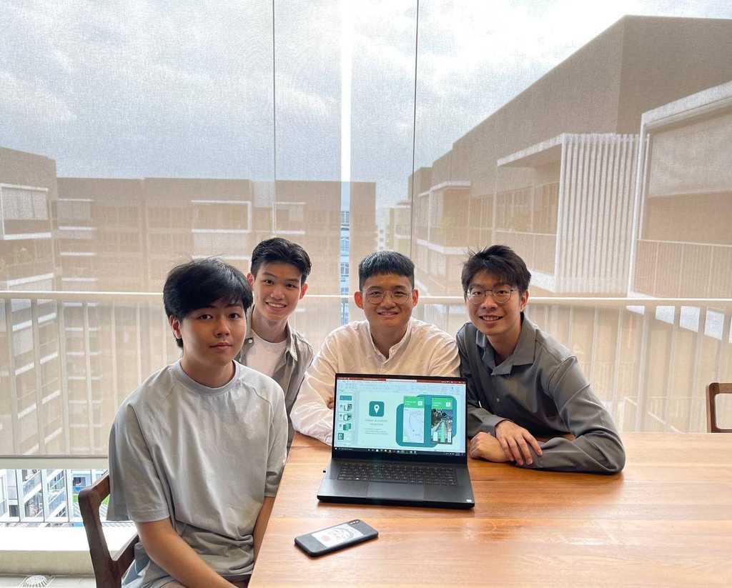
Given our common interest in leveraging assistive technologies to foster the integration of an inclusive society within our cities and communities. It has led us to the creation of Project Sherpa and its Mission; To build an inclusive society and to empower all wheelchair users to live independently and confidently through “boundless navigation”.
Project Sherpa Application Summary
Geospatial technology is, as we all know, a term used to describe the variety of modern instruments that lead to the geographical mapping and analysis of the Earth and human societies. Geospatial technology is an emerging research field involving the Geographic Information System (GIS), Remote Sensing (RS) and Global Positioning System (GPS). This allows us to acquire and use earth-referenced knowledge for research, modeling, simulation and visualization. Through our crowd-sourcing strategy, by using spatial data, remote sensing, satellite imagery, and machine learning in relation to human activities, we can use technologies such as mapping and data analysis to our advantage. Geospatial technology is also growing in various economic fields, such as our smart devices, and this will be very helpful knowing that our solution comes with a smartphone application. It also contributes to improving efficiency (e.g. time saving, cost avoidance) and better effectiveness (improved outcomes).
Digital Twin Infrastructure
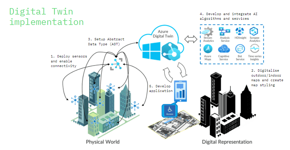
We would like to co-create catalytic initiatives to develop Sustainable Cities and Communities (SDG 11). This will include the use of the advanced Digital Twin platform, links and/or integration to sensor networks, Internet of Things (IoT) like CCTVs, and sources of data or documents.
Application Mockup
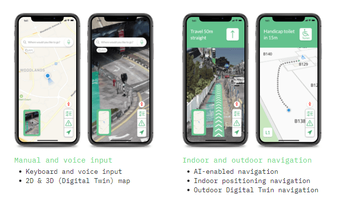
Indoor navigation has never been easier with our application, our application synchronizes with the latest and the most up-to-date indoor maps of commercial and industrial buildings.
Utilizing Outdoor navigation using digital twin to show an accurate and High-Definition 3D Surrounding of the user location during navigation.
Data Collection Method through Crowdsourcing
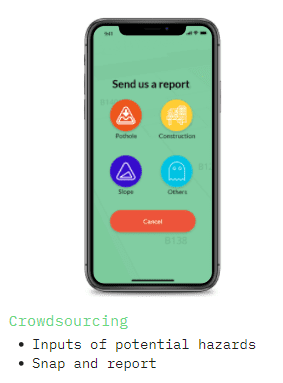
Our users can contribute to our map by providing live warning and updates to alert the other users of any potential hazards or changes in the maps such as constructions or potential potholes. Additionally, the images uploaded can be contributed to provide live update of our digital twin map and utilizing machine vision and artificial intelligence will then generate a 3D model to overlay onto our existing digital twin to reflect the hazards reported by community users.
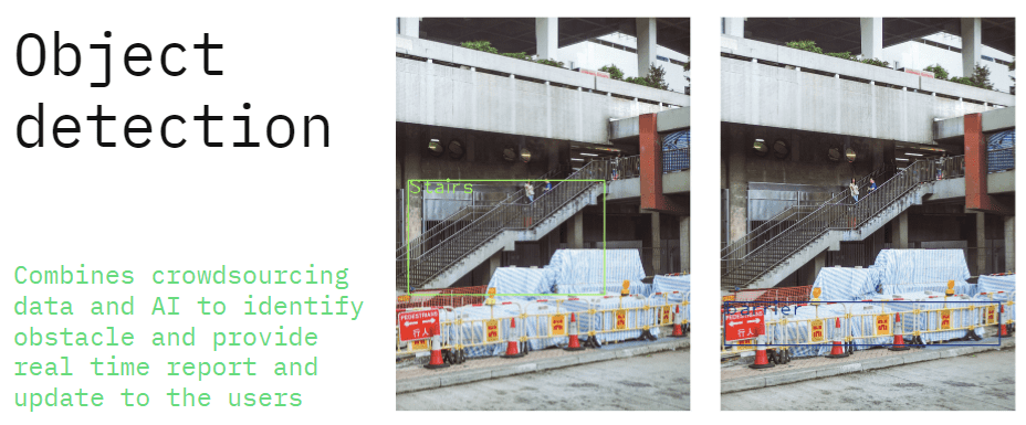
We believe with our solution, users will be able to travel efficiently from place to place. This will save time as we help to create a seamless barrier-free path of travel between outdoor and indoor for them to foster the integration of an inclusive society (SDG11) within our cities and communities.
